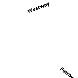
29 FERNWAY
Owner Information
RUECKER OLIVER, T/E
29 FERNWAY
LYNNFIELD, MA 01940


Property Details
29 FERNWAY is classified as a Single Family Residential (Colonial).
The primary structure on this property was built in 1965. There are 2,486ft2 of built area within this property. There is 2,486ft2 of residential/living space within this property. This property is listed as having 9 rooms.
29 FERNWAY is valued at $767,800. The land is valued at $472,400 and the structures are valued at $295,400.
This property is in Zone RA. Confirm with local Zoning Board authorities to ensure there are no overlays or other easements on this property.
The most recent deed for 29 FERNWAY is recorded at the local registrar in Book 22074, Page 268. 29 FERNWAY was last sold on Monday, November 17, 2003 for $540,000.
Assessment data from fiscal year 2022.
Flood Data
According to the FEMA National Flood Hazard Layer, this property does not appear to be in a flood zone. It may also be in an area not yet reviewed. Nonetheless, confirm this information prior to taking any action.
To view the flood hazards around this property, create a FEMA "Firmette" Map of the area around 29 FERNWAY.
Broadband Internet Providers
| Provider | Type | Bandwidth (mbps) | |
|---|---|---|---|
| Viasat Inc | Satellite | 100 | 3 |
| Comcast | Cable | 1000 | 35 |
| Verizon New England Inc. | Fiber | 940 | 880 |
| HughesNet | Satellite | 25 | 3 |
| VSAT Systems, LLC. | Satellite | 2 | 1 |
| GCI Communication Corp. | Satellite | 0 | 0 |
| Verizon New England Inc. | DSL | 3 | 0 |
Broadband service provider data from December 2020.
Adjacent Properties
- 27 FERNWAY
Single Family Residential owned by BURKE PAUL G - 31 FERNWAY
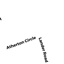
Single Family Residential owned by WILSON JOHN N, III T/E - 6 LANDER RD
Single Family Residential owned by CADOGAN SUSAN P - 8 LANDER RD
Single Family Residential owned by MURPHY ROSANNE S - 10 LANDER RD
Single Family Residential owned by PATTEN KENNETH B, T/E